Streets, Roads & Highways
as Peace Monuments
Right click image to enlarge.

About 1816 - Rue de la Paix / Peace Street, 2nd Arondissement, Paris (France). Connects the Place Vendôme (seen in lower image) to the Opéra de Paris (1875). Part of Napoléon's program to open the heart of the Right Bank, the street was constructed in 1806 and required the demolition of the ancient Convent of the Capucins. At first named Rue Napoléon, the name was changed at the Bourbon Restoration to celebrate the Peace of 1815, the treaty for which was signed on November 20, 1815. Now one of the world's most fashionable shopping streets, known above all for the shop opended by Cartier SA in 1898 at 13, rue de la Paix. (The column in the Place Vendôme celebrates Napoléon's victory at Austerlitz on December 2, 1805. Its veneer was made from cannon taken from the combined armies of Europe.)

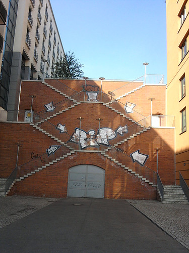
After 1871 - Peace Street / Fridenstraße, District of Friedrichshain, Berlin (Germany). "Runs from the Greifswalderstraße (Prenzlauer Berg) to Palisade Street, street of the Paris Commune & Weidenweg. Named after the 'Peace of Frankfurt' which ended the Franco-German War on 10 May 1871 in Frankfurt-am-Main." Right image shows stairs in Fridenstraße.


Date? - Peace Street / Calle de la Paz, Valencia (Spain). "En valenciano 'carrer de la Pau.' Una de las principales arterias urbanas. Está situada en pleno corazón de Valencia y es una vía comercial."


Date? - Peace Avenue / Enkh Taivny Urgon Chuloo, Ulaanbaatar/Ulan Bator (Mongolia). "The main thoroughfare through town. Runs along the south side of Sükhbaatar Square in the government district. In the middle of the square, there is a statue of Damdin Sükhbaatar [1893-1923] on horseback. The spot was chosen because that was where Sükhbaatar's horse had urinated (a good omen) on July 8, 1921, during a gathering of the Red Army. On the north side is the Mongolian Parliament building, featuring a large statue of Chinggis Khan at the top of the front steps."
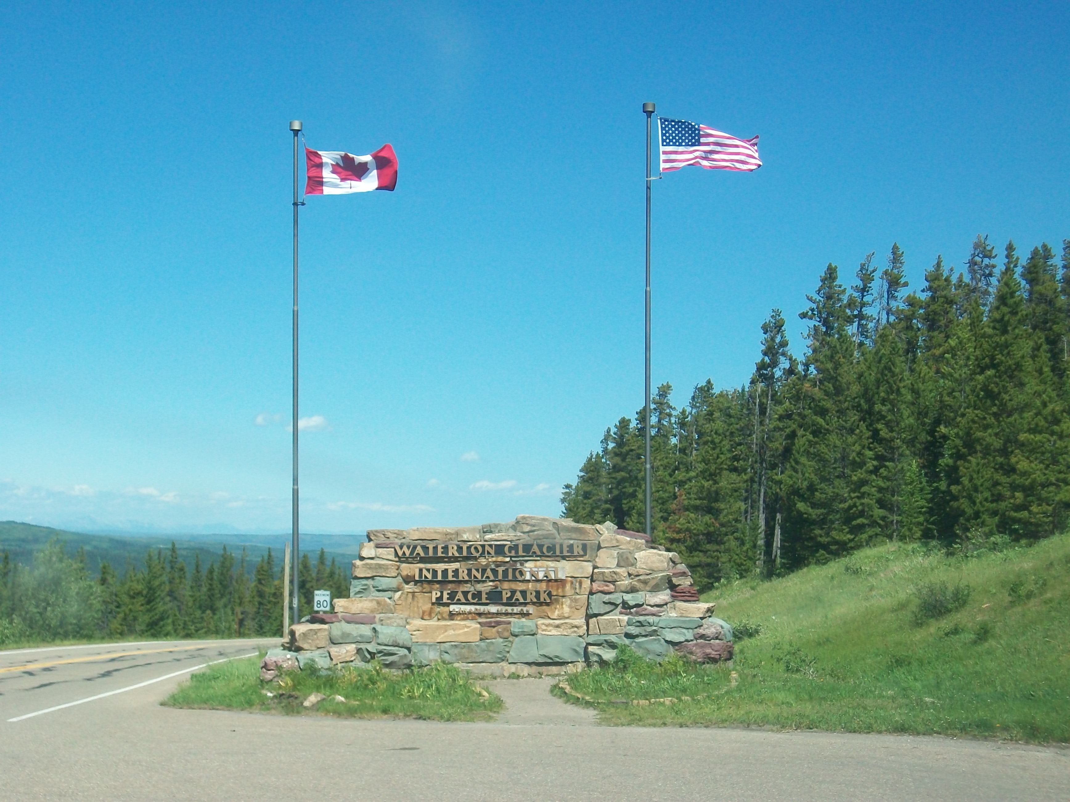
After 1934 - Waterton-Glacier Peace Park Loop, Alberta (Canada) & Montana (USA). "Between 315 & 400 miles long, depending on your route choice. Designated one of the Top Ten Scenic Drives in the Northern Rockies Will take you to two national parks, over three continental divides & into some great communities in the heart of the 'Crown of the Continent' where Alberta, British Columbia & Montana converge. During the summer months, the bonus option puts you on the Going-to-the-Sun Road in Glacier National Park. Regardless of season, however, you will experience a tremendous diversity of scenery, wildlife & history." Image shows international border on the Chief Mountain Highway portion of the loop.

.jpg)

H
I
G
H
W
A
Y
1935 - Cordell Hull Highway, Kentucky & Tennessee (USA). "In 1935 [sic], the Kentucky & Tennessee legislatures designated the route connecting Mammoth Cave & the Great Smoky Mountain National Park in honor of Cordell Hull [1871-1955] as a tribute to his services to the nation. Hull, a Tennessee native of Pickett County, had a successful law practice in nearby Celina, Gainesboro & Carthage, Tennessee. He was a member of the House of Representatives 1907-31 & served many years as a US Senator beginning in 1931. As Secretary of State under Franklin D. Roosevelt, Hull became known universally as 'The Father of the United Nations,' an achievement for which he received the Nobel Peace Prize in 1945." /// "The Cordell Hull Parkway is a 57 mile ribbon of road that threads through a most scenic & historical route from Mammoth Cave, KY, to the Tennessee state line." /// "Cordell Hull Scenic Byway begins at the entrance to Mammoth Cave National Park, extends to the Tennessee state line & on to Celina, Tennessee, which is the site of Hull’s original office." /// Click here for information on the annual Rollercoaster Yard Sale on the Cordell Hull Highway (right map).


About 1953 - Heiwa-dori / Peace Boulevard, Hiroshima (Japan). "Constructed based on the "Hiroshima Peace Memorial City Construction Plan" enacted in 1952. The major elements of the street are four traffic lanes in the middle and two green belts on each side. The green belts extend about 4 km. Most of the trees planted on the green belts were presented by the people around Hiroshima between 1957 and 1958. Peace Boulevard is also called ‘100 Meters Road’ due to its width. Although 24 100-meter-wide roads were planned in some cities damaged during the war, only two in Nagoya and one in Hiroshima have actually been constructed. In addition, two bridges were built on the street make it a special place. The railings of Heiwa-ohashi Bridge and Nishiheiwa-ohashi Bridge were designed by world-renowned Japanese-American sculptor Isamu Noguchi [1904-1988]." Click here for all examples of the phrase "peace memorial."

S
T
R
E
E
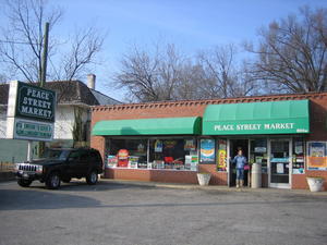
TDate? - Peace Street, Raleigh, North Carolina (USA). Probably named for Peace College. Right image shows Peace Street Market at 804 West Peace Street.


Future - Peace Road (Syria & Israel?). "A highway that will eventually link Syria to Jerusalem. Has unofficially been called the Peace Road. Forward planning or wishful thinking? On the outskirts of the village of Qatana (16 miles SW of Damascus), construction is well underway. The highway's planned route passes into Israel through the town of Quneitra [right image] in the Golan Heights, perhaps back in Syrian hands by the time the highway is completed. When contacted, Syrian transport officials declined to comment on where the highway was actually leading. If recent comments from senior politicians are anything to go by, peace between Syria & Israel would appear far off... -- Los Angeles Times, April 22, 2010."